June 11, 2017
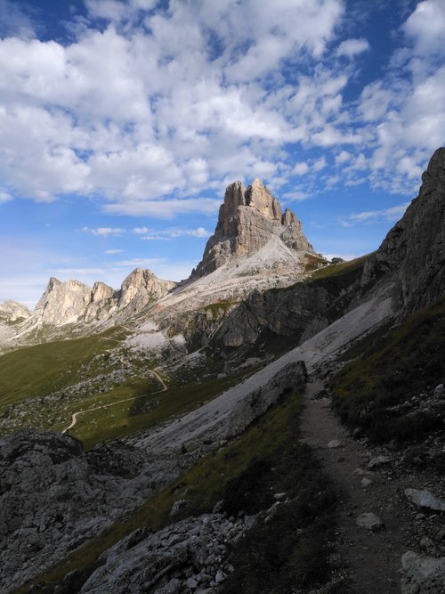
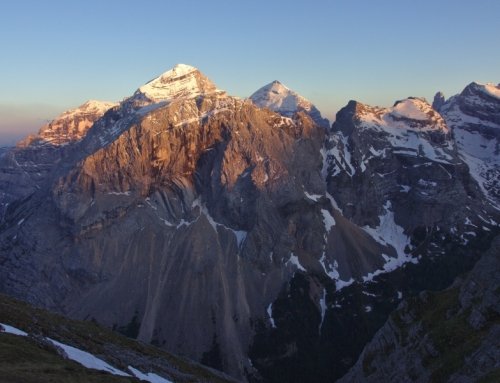
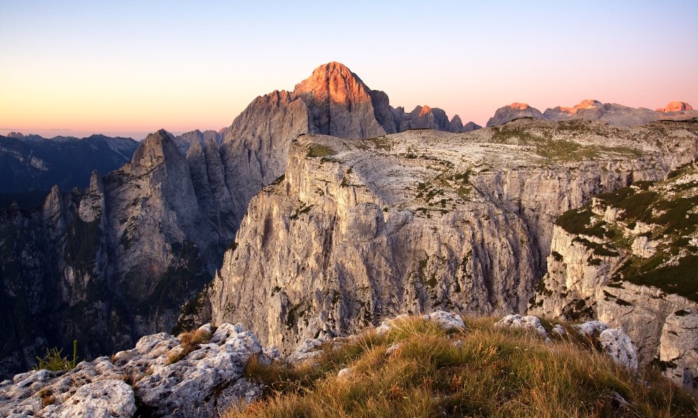
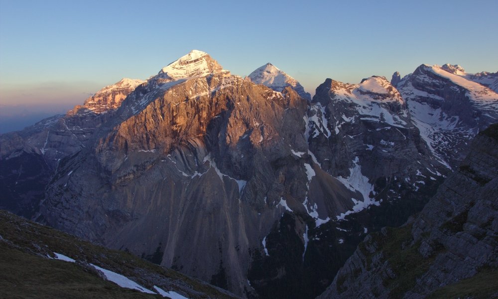
Winter has been mild with very low if not absent snowfall on the ground. We were up scouting the northeastern Dolomites mid-May and spent the night in a beautiful town called Cima Sappada, located close to the Austrian border. Much to our surprise we woke up to an intense snowfall. It was quite a contrast between the white snow and the deep green color of spring! Of course it was all gone during the course of the day.
The most reliable local weather forecast is ARPAV at http://www.arpa.veneto.it/previsioni/en/html/meteo_dolomiti. Forecasting mountain weather conditions is tough, but these guys have a pretty good record. Plus they can always look out the window and double check!
Maps. We rely on excellent topographic maps called Tabacco. Our preferred choice is the 1:25.000 map, which basically means that 1cm=250mts, 4cm=1.000mts or one Km.
In the mountains knowing the distance on the map does not portray the whole picture. There is a long standing local tradition to describe a hike by the vertical height rather than by the distance. By this I mean how much was climbed measured in meters rather than the horizontal distance itself.
This gives a much better indication of the overall energy expense. In practice what this means is that few locals may tell you how long a hike is, they may not know! Rather and as an example, it could be described as a 6 hour hike with a vertical height of 800mts.
This is how it may play out-
“how was your hike?”
“great, we did 800 vertical”
Bizarre? You bet!, but this is how we do it here
For those of you that may be interested in knowing a bit more about fantastic trekking in the Belluno Dolomites these are the Tabacco maps that cover the area
015 Marmolada Pelmo Civetta Moiazza
03 Cortina d’Ampezzo e Dolomiti Ampezzane
017 Dolomiti d’Auronzo e del Comelico
The maps may be purchased locally and cost 7,50 euro. You can also download the app and purchase them online. Just be aware that the area covered on the app version is smaller than that of the paper version.
Leave A Comment
You must be logged in to post a comment.